
Precision Geospatial Intelligence for Local Communities
Empowering state agencies, local governments, and community organizations with actionable spatial data, expert mapping, and targeted environmental and public health consulting.
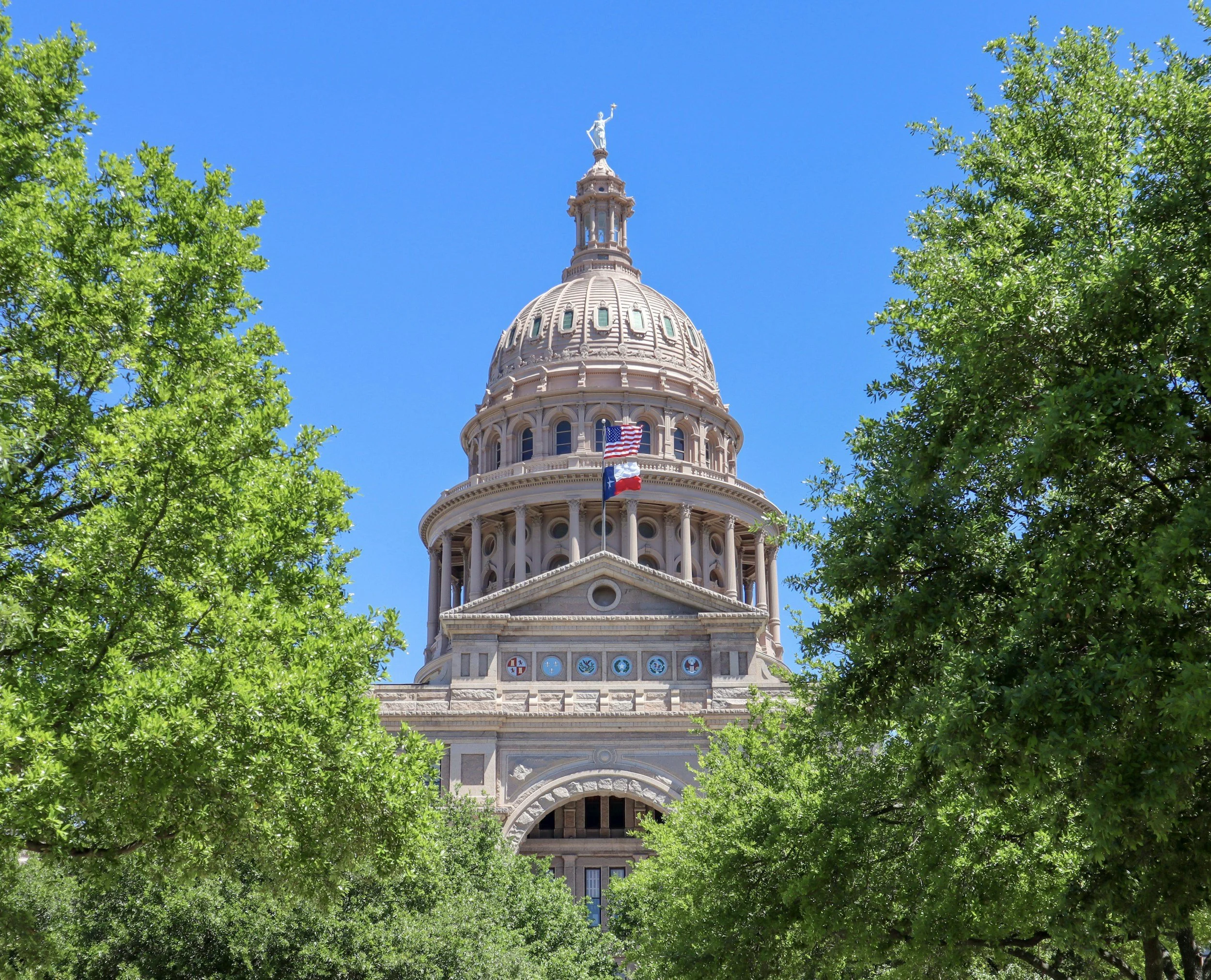
Welcome to Berens GIS
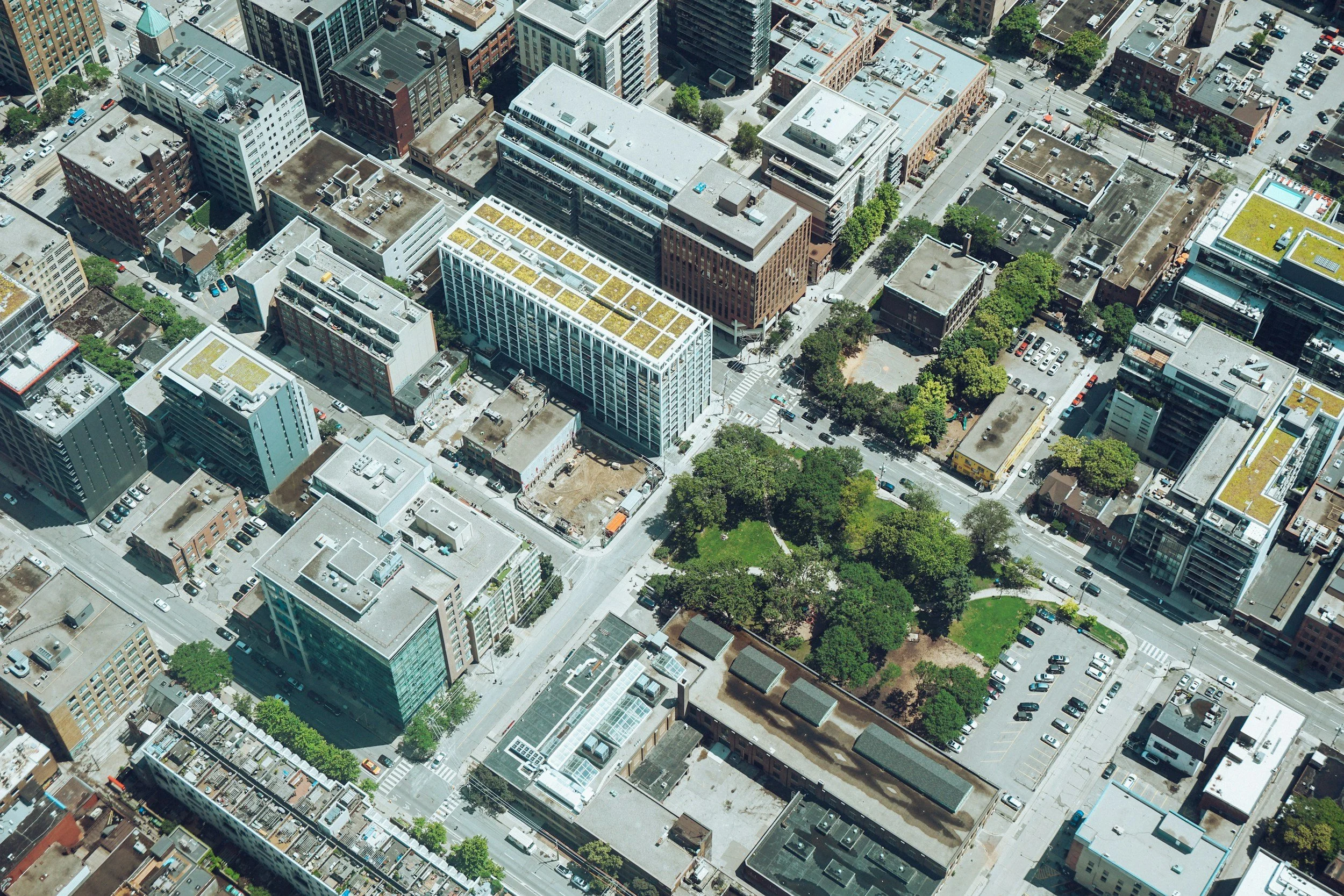
At Berens GIS, complex spatial data becomes clear, actionable strategy. Whether tracking public health trends across a county, mapping environmental risks, or optimizing local community assets, specialized GIS consulting connects geographic insights directly to real-world outcomes.
Working closely with state and local government agencies, public health departments, and community organizations like HOAs, Berens GIS delivers direct, expert analysis without the hassle of larger players.
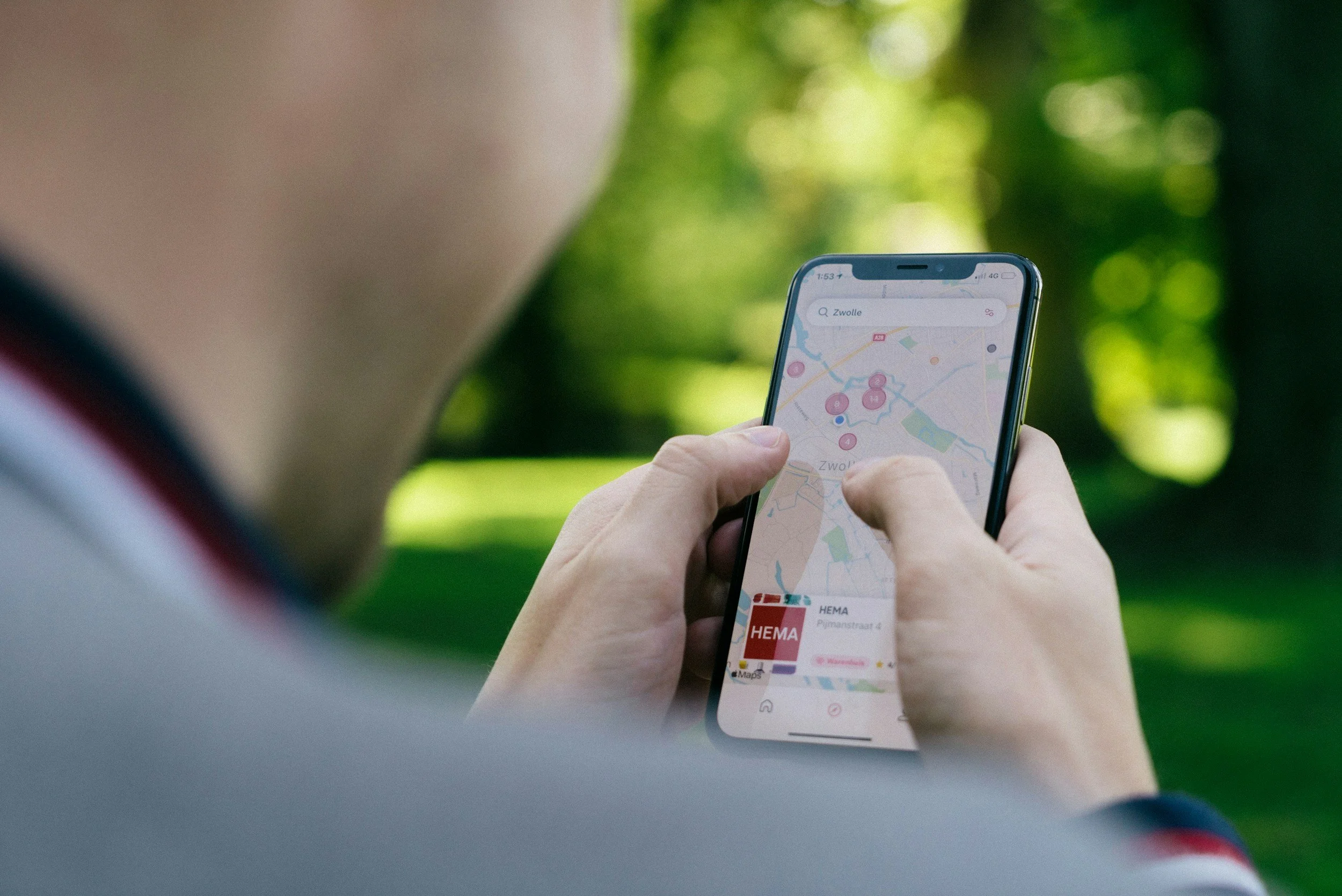
Why Work With Berens GIS?
Dedicated Senior Expertise: Direct collaboration with a principal GIS consultant on every project.
Specialized Domain Knowledge: Proven background in public health analytics and local spatial governance.
Tailored & Cost-Effective: Custom GIS deliverables scaled precisely to community and departmental budgets.
Ready to Map Your Project’s Success?
Let's discuss how spatial analysis can support your work.